Flood watches issued across southern and central Utah for weekend storms
An atmospheric river and cold front bring rain and snow to areas still recovering from recent flooding.
By Yara Nasser ·
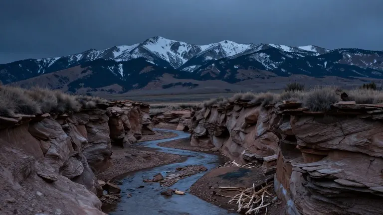
Storm systems are converging over the western United States as residents in Utah brace for renewed precipitation. Flood watches are now in effect for most of southern Utah and parts of central and eastern Utah through the coming weekend.
The National Weather Service offices in Salt Lake City and Grand Junction, Colorado, issued the alerts late on Halloween night. The watches remain active through most of Sunday and extend into Monday morning for southeastern regions. Officials predict moderate to heavy precipitation will fall during this period, creating conditions for excessive runoff in rivers, streams, and dry washes.
Precipitation has already begun to affect some low-lying areas in the southwest. A flood warning is currently active for the upper Santa Clara River in Pine Valley, Washington County. This alert lasts until 9 p.m. local time. Between 0.5 and 1 inch of rain has fallen in the area, with forecasts predicting another 1 to 1.5 inches in the next few hours. The warning notes that flooding is imminent or occurring downstream to just below Baker Reservoir.
KSL meteorologist Matt Johnson said the bulk of the moisture will arrive on Sunday and potentially into early next week. Weather models updated on Friday indicate 1 to 3 inches of precipitation for most mountain areas. Higher totals are expected near Brian Head and the mountains of southeastern Utah. The cold front will bring snow to higher elevations, with 4 to 8 inches possible in most mountain ranges. Brian Head could receive up to 12 inches, while the upper Cottonwood Canyons may see 8 to 16 inches.
Valley locations are also expected to see measurable precipitation. Most areas could receive at least 0.5 inches, with some spots on the Wasatch Front and in northern and southern Utah possibly exceeding one inch. This new weather pattern arrives after severe flooding occurred in parts of southern Utah over the past two weeks.
Lt. Gov. Deidre Henderson toured flood-damaged communities in San Juan County on Thursday. She visited areas where families remain unable to return to their homes due to recent water damage. The town of Hurricane in southwest Utah declared a state of emergency on Oct. 22 following flash flooding. Erin Walter, a hydrologist for the National Weather Service's Grand Junction office, expressed concern for the San Juan region. She noted that widespread minor to major flooding impacts are still being addressed there.
Walter stated that the probability of excessive rainfall is slight across southern Utah but moderate in the southeast corner, including Monticello and the Four Corners region. She warned that the new storms could impact the same areas that flooded last week. The flood watches may be elevated to warnings depending on where the strongest precipitation sets up.